The oil and gas industry thrives on data, and understanding well permit trends and drilling activity is crucial for business development and operational planning. This blog provides insights into the latest well permits and drilling activity in Block B21, Crane County, TX, based on a dataset of 74 well permits issued in 2024 and 2025.

Key Findings
Total Well Permits Issued
A total of 74 well permits were issued in Block B21, Crane County over the analyzed period. Tracking permit activity helps identify emerging opportunities and trends in the region.
Wells Drilled vs. Permits Issued
Out of the 74 permits, 44 wells have been drilled so far, indicating an activity rate of approximately 59%. Understanding the gap between issued permits and actual drilling activity can help service providers optimize their sales strategies.
Top Drilling Contractors
The most active drilling contractors in the dataset include:
- Savanna 654 – 10 wells
- Savanna 688 – 9 wells
- AKITA 518 – 9 wells
- AKITA 523 – 4 wells
- AKITA 521 – 3 wells
These contractors are leading drilling activity in the region, making them key players for potential business opportunities.
Drilling Operation Breakdown
- Horizontal Drilling: 75.7%
- Vertical Drilling: 24.3%
Horizontal drilling dominates operations in the county, highlighting the focus on maximizing production efficiency and well output.
Projected Well Depth Analysis
- Horizontal Wells: Average depth of 7,999 feet
- Vertical Wells: Average depth of 7,349 feet
This information provides insights into well design and planning, which is crucial for equipment suppliers and service providers.
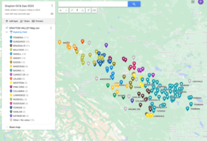
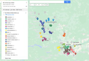
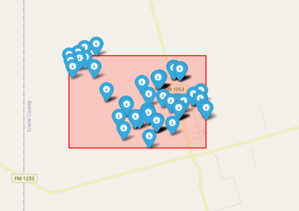
Geospatial Analysis and Geofence (See Map)
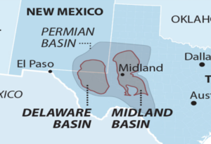
A geofence was created around the well permit locations in Block B21, with a radius of 3.41 miles. The region lies approximately 48.7 miles northeast of Midland, TX, a central hub for oil and gas operations.
Leases and County Insights
- The dataset includes wells under 9 unique leases, providing a diverse range of project locations.
- The primary county of activity is Crane County, TX, reinforcing the region’s importance in oil and gas development.
Conclusion
Tracking well permits and drilling activity provides valuable insights for industry professionals. From contractor engagement to drilling trends and geospatial mapping, understanding this data allows businesses to make informed decisions. Whether you’re in equipment supply, frac sand logistics, or digital oilfield services, leveraging permit and drilling data can be a game-changer in business development.
For more insights on well activity and industry updates, stay connected with our latest reports!