

Website
Address
1700 Lincoln Street, Suite 3200
Denver, CO 80203
Phone
(303) 861-8140

Company Description
SM Energy Company is an independent energy company engaged in the acquisition, exploration, development, and production of oil, gas, and NGLs in the state of Texas.
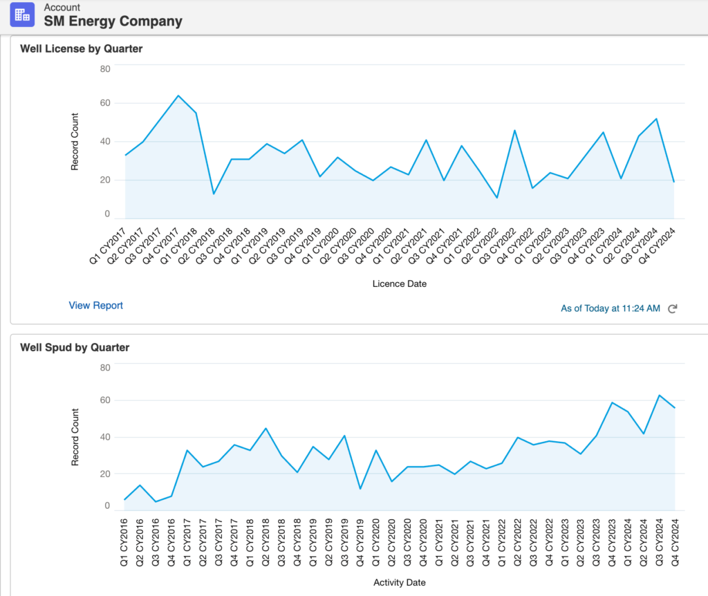
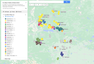
SM Energy ranks #28 in wells drilled in 2023 with 108 wells drilled in the US
Operations
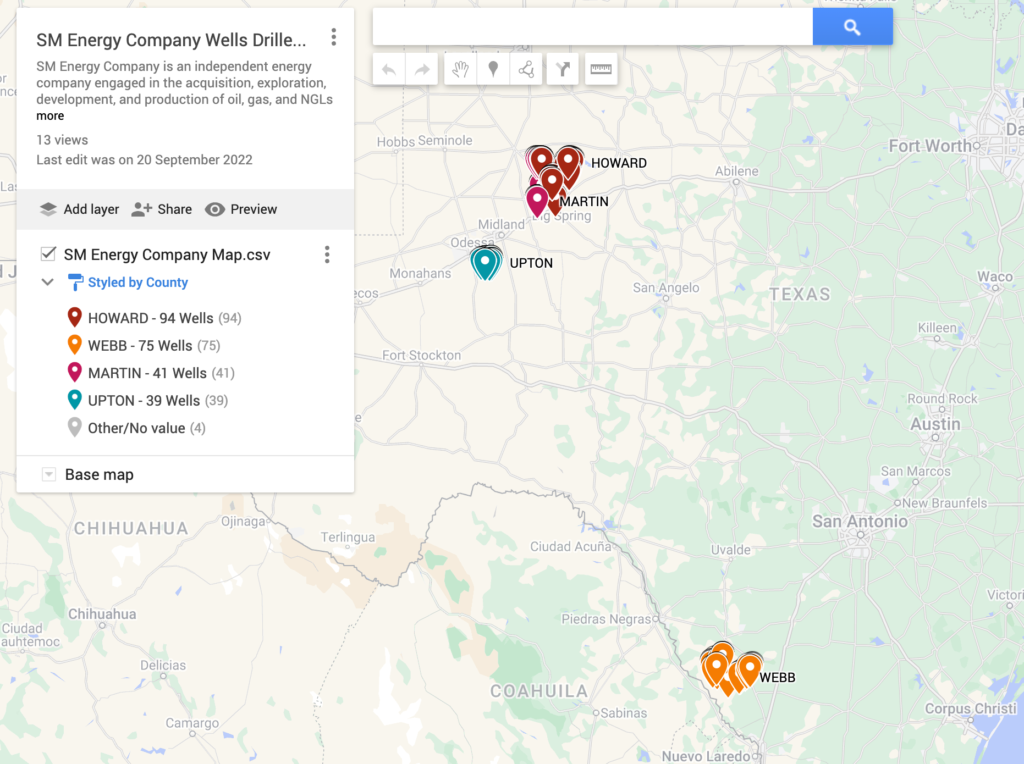
Howard County, TX ranks #6 in the state for BOE produced in the most recent month (Jun 2022).
Webb County, TX ranks #8 in the state for BOE produced in the most recent month (Jun 2022).
Martin County, TX ranks #3 in the state for BOE produced in the most recent month (Jun 2022).
Upton County, TX ranks #7 in the state for BOE produced in the most recent month (Jun 2022).
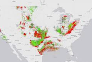
Austin Chalk 650-mile long geological formation, stretching underground from the Mexico-Texas border, through central Louisiana and into Mississippi. Austin Chalk holds about 4.1 billion barrels of crude, 18 trillion cubic feet of gas and 1 billion barrels of natural-gas liquids
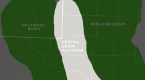
The Midland Basin encompasses a 13,000 square mile area of West Texas. It contains all or parts of 20 counties in West Texas, ranging from Terry and Lynn on the north to Crockett and Schleicher on the south. Much of the tight oil development in the Midland Basin has occurred in the center of the basin, primarily in Martin, Midland, Upton, Howard, Glasscock, and Reagan counties at depths of 7,000 feet (ft) to 10,000 ftEdit Description Image
Permit Download Center
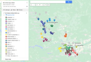
SM Energy Company Wells Drilled 2024
SM Energy Rig Count Nov 2024
SM Energy Company Air Permits
SM Energy Company Permit Summary
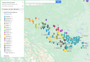
SM Energy Company Operations Map
Click map to view in google maps
Oil & Gas Operators

Oil & Gas Operators


Author: phinds